Well as promised, Here is my story and collection of pictures from the Athens/Big Fork race.A good contingent from Tulsa journeyed over into Arkansas to run this difficult trail race put on by AURA. This is my 8th year to start this race, with only 4 marathon finishes. Once, I tweaked a knee and turned around at mile 10 for a 20 mile out-and-back. One year, I opted to drop down to the 17 mile Fun Run. One year, I dropped at the halfway point and begged a ride back to the TATUR aid station, and this year, I decided to just enjoy 17 miles with my friend Tom.
Stormy drove his massive Ford Excursion and hauled me, Tom, Jason, and Janeen. Alex rode down with Brian towing the TATUR trailer. Tom Brennan came over again from Poteau and brought several friends with him. Tammy Winn and a friend and Michael Scoggins rounded out the Oklahoma contingent. After checking into our rooms, it was time to chow down. In Mena AR, there is no better place to stuff your face than the Chopping Block Steak House.
 The food was delicious. I opted for the New York Strip, and blew my entire expense account on it!! Polk county is a dry county, and there was no carb loading via beer. :-(
 We rolled into Big Fork at 6:30, and ambled into the community center to sign our waiver, put our $5.00 in the donation box, and then spent some time catching up with old friends. The RD Steve makes a few announcements and warnings about the course--the usual "the course is hard, don't get lost, etc."
 This pot bellied stove was fired up and felt really good on this 30 degree morning. Number 449 is Tom Brennan, who set the course record last year in the marathon running a 4:26:30. Now I know someone will read this and think that's nothing. HAHA! This course is very technical running over jagged rocks and scree, and 9,200 feet of elevation in the 16 mountain passes. This year, Tom Brennan shaved a few minutes off his record running a 4:22:55!! He just floats over the rocks and hills.
 My friend Tom Robinson, styling a matching vest and visor, is secretly about to throw up fretting the torture he is fixing to endure.
 No fretting for Jason. Jason ran a good time last year (7:10) was primed to run a PR for this course. He did just that, shaving exactly one hour off his time!!
 A couple of friends in this pic. In the Western States jacket is Stan Ferguson--Co-RD of the Arkansas Traveller (along with his better half Chrissy.) Stan and Chrissy are the only husband and wife to complete the Grand Slam of ultrarunning--finishing the Vermont 100, Western States, Leadville, and the Wasatch 100 all in the same year. They're rock stars! Number 263 is Pete Ireland. I have ran many races with Pete, and usually he beats me, although every now and then I come in a few minutes before him. This was a lucky year for me as I bested him by 2 minutes. If he had another mile, I bet he would have passed me.
 At exactly 8:00 am, we were sent on our way. Running east right into the sun was actually a pleasure since the past few years have been cloudy/foggy on race day. The first mile is on a paved two-lane highway....
 ....and turns onto a gravel road. This road goes along for a mile and a half before reaching the trail head.
 Tom stopped for a brief rest on the porch of this abandoned house near the road. Had he sat down here on the return trip, I might not have been able to get him going again.
 After 2.6 miles, we reached the Athens/Big Fork trail head. This trail was a mule trail used by the postal service over 100 years ago and crosses 8 mountains. The marathoners turn around and endure the 8 climbs on the way home. Those doing the 17 mile fun run cross 5 mountains before coming back. I love the tall pines--the sound of the wind whirring through the branches and boughs.
 A look back to the east (although I lose any sense of direction on this race.)
 The first climb is a doozie. There were several blow-downs on the way up, and the trail was covered by leaves. It seemed like it might be a long grueling day.
 I'm nearing the top. Not feeling all that great about my efforts at this point. I had forgot my Garmin, but it was just as well as it would have had bad news for me.
 A view from the top. Notice all the briers and the blow-down. This section was not fun, although after a quarter mile, the trail was actually much better.
 Some nice downhill running. If you can't run the downhills well, it is impossible to finish this race in the time allotted.
 At the bottom of nearly every valley, there is a water crossing. It's possible in places to hop-skotch over on rocks, but by the end of the day, there is no getting out of having wet feet.
 Tom brought his filter bottle--just to try out. I have drank straight from streams just like this out of extreme necessity, but given the choice, I would prefer not to. Tom took a sip or two, and stuck to safer water for the rest of the day.
 Then it was time to climb. It is hard to capture the severity of the inclines in a picture. Suffice to say that most climbs are over 500 feet, and some are closer to 1000 feet.
 Not every step is as rocky as these pics show, but the course is rocky enough to chew up a pair of shoes. I had decided to run in my Montrail Hardrocks one last time and left my Hokas in waiting, as I need those to get me through a couple of long races in February and March.
 The third decline runs along the edge of this mountain, and the loose scree always makes falling a real possibility. And fall I did! I took a dive and scraped my hand a little. Blood was shed, but not so much to make a good picture.
 I kept running the downhills, but Tom was a little more cautious. (Smart man.)
 Another water crossing. I just plowed through this one. Blaylock Creek was coming up and there is no way to cross it dry-footed.
 That mountain over there--yup, we gotta climb it.
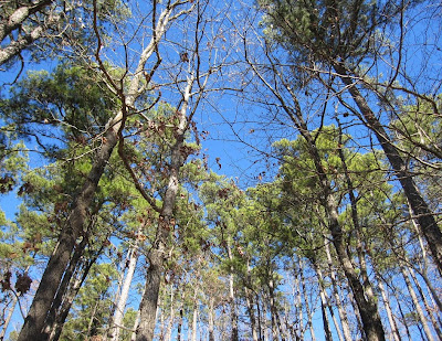 Love me sum pines and blue sky!!
 Here's a rare flat section of trail. Actually, there are a few stretches where the trail runs along a stream and the course is fairly flat. But most is either UP or DOWN.
 Tom is enjoying a run section just before our turn-around.
 We were near the back of the pack, and the aid station fare was pretty picked over. However, the peanut butter and saltines really hit the spot. I walked out with a triple decker sandwich made of two peanut butter cracker sandwiches with a brownie in between. YUM!
 The climb out of Blaylock Creek is maybe the steepest on the course. This mountain usually kicks my butt, and we definitely did not set any speed records, but I felt like I made it up and over in better shape than in previous years. Of course, those doing the marathon would have been climbing this having crossed six more mountains than we had at this point.
 One of my favorite sections is alongside this creek where the trail is carpeted by a coat of moss. Makes for some nice soft footfalls.
 Climbing the next to the next to the last mountain, Stan, who was running the full marathon, passes us by. Tom Brennan had long since passed us (at our 9 mile point, and he was on his 18th mile!)
 This is another booger of a climb. The next one after this was even worse.
 The end is near. Tom is on the last descent. We finished in 5:56. Maybe not too impressive timewise, but it was a great day of running, and I felt strong even in the final few climbs.

This race has never had a t-shirt or awards, but this year, t-shirts were available for purchase. Stormy sports the shirt, having finished his first A/BF 26.2. He loved it, and I'm betting he'll be back next year.
 This is the back of the shirt--it's the warning about the race that is on the website. Actually, I think this warning makes more people WANT to do it. There were 93 runners in this race--the largest turnout ever. There were 100 shirts printed. Tom and I finished way ahead of a lot of the marathoners, and the shirts were gone. Tom had made arrangements for someone to buy him one, but I was dissappointed to not get one. There is a list of folks wanting a shirt, and maybe they will reprint some.
 This is the elevation profile of the 17 mile Fun Run (which is actually closer to 18 miles by Tom's garmin.) Ouch!
Results can be viewed HERE.
Stormy drove his massive Ford Excursion and hauled me, Tom, Jason, and Janeen. Alex rode down with Brian towing the TATUR trailer. Tom Brennan came over again from Poteau and brought several friends with him. Tammy Winn and a friend and Michael Scoggins rounded out the Oklahoma contingent.
 After checking into our rooms, it was time to chow down. In Mena AR, there is no better place to stuff your face than the Chopping Block Steak House.
 The food was delicious. I opted for the New York Strip, and blew my entire expense account on it!! Polk county is a dry county, and there was no carb loading via beer. :-(
 We rolled into Big Fork at 6:30, and ambled into the community center to sign our waiver, put our $5.00 in the donation box, and then spent some time catching up with old friends. The RD Steve makes a few announcements and warnings about the course--the usual "the course is hard, don't get lost, etc."
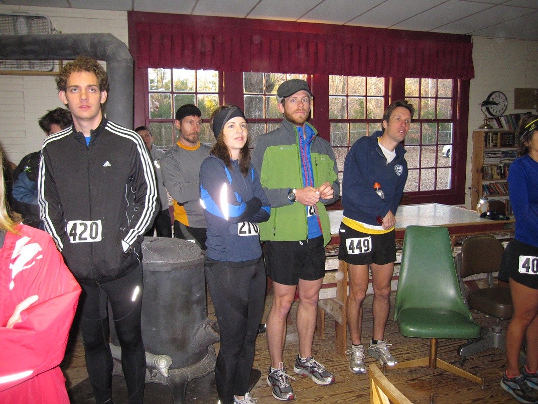 This pot bellied stove was fired up and felt really good on this 30 degree morning. Number 449 is Tom Brennan, who set the course record last year in the marathon running a 4:26:30. Now I know someone will read this and think that's nothing. HAHA! This course is very technical running over jagged rocks and scree, and 9,200 feet of elevation in the 16 mountain passes. This year, Tom Brennan shaved a few minutes off his record running a 4:22:55!! He just floats over the rocks and hills.
 My friend Tom Robinson, styling a matching vest and visor, is secretly about to throw up fretting the torture he is fixing to endure.
 No fretting for Jason. Jason ran a good time last year (7:10) was primed to run a PR for this course. He did just that, shaving exactly one hour off his time!!
 A couple of friends in this pic. In the Western States jacket is Stan Ferguson--Co-RD of the Arkansas Traveller (along with his better half Chrissy.) Stan and Chrissy are the only husband and wife to complete the Grand Slam of ultrarunning--finishing the Vermont 100, Western States, Leadville, and the Wasatch 100 all in the same year. They're rock stars! Number 263 is Pete Ireland. I have ran many races with Pete, and usually he beats me, although every now and then I come in a few minutes before him. This was a lucky year for me as I bested him by 2 minutes. If he had another mile, I bet he would have passed me.
 At exactly 8:00 am, we were sent on our way. Running east right into the sun was actually a pleasure since the past few years have been cloudy/foggy on race day. The first mile is on a paved two-lane highway....
 ....and turns onto a gravel road. This road goes along for a mile and a half before reaching the trail head.
 Tom stopped for a brief rest on the porch of this abandoned house near the road. Had he sat down here on the return trip, I might not have been able to get him going again.
 After 2.6 miles, we reached the Athens/Big Fork trail head. This trail was a mule trail used by the postal service over 100 years ago and crosses 8 mountains. The marathoners turn around and endure the 8 climbs on the way home. Those doing the 17 mile fun run cross 5 mountains before coming back. I love the tall pines--the sound of the wind whirring through the branches and boughs.
 A look back to the east (although I lose any sense of direction on this race.)
 The first climb is a doozie. There were several blow-downs on the way up, and the trail was covered by leaves. It seemed like it might be a long grueling day.
 I'm nearing the top. Not feeling all that great about my efforts at this point. I had forgot my Garmin, but it was just as well as it would have had bad news for me.
 A view from the top. Notice all the briers and the blow-down. This section was not fun, although after a quarter mile, the trail was actually much better.
 Some nice downhill running. If you can't run the downhills well, it is impossible to finish this race in the time allotted.
 At the bottom of nearly every valley, there is a water crossing. It's possible in places to hop-skotch over on rocks, but by the end of the day, there is no getting out of having wet feet.
 Tom brought his filter bottle--just to try out. I have drank straight from streams just like this out of extreme necessity, but given the choice, I would prefer not to. Tom took a sip or two, and stuck to safer water for the rest of the day.
 Then it was time to climb. It is hard to capture the severity of the inclines in a picture. Suffice to say that most climbs are over 500 feet, and some are closer to 1000 feet.
 Not every step is as rocky as these pics show, but the course is rocky enough to chew up a pair of shoes. I had decided to run in my Montrail Hardrocks one last time and left my Hokas in waiting, as I need those to get me through a couple of long races in February and March.
 The third decline runs along the edge of this mountain, and the loose scree always makes falling a real possibility. And fall I did! I took a dive and scraped my hand a little. Blood was shed, but not so much to make a good picture.
 I kept running the downhills, but Tom was a little more cautious. (Smart man.)
 Another water crossing. I just plowed through this one. Blaylock Creek was coming up and there is no way to cross it dry-footed.
 That mountain over there--yup, we gotta climb it.
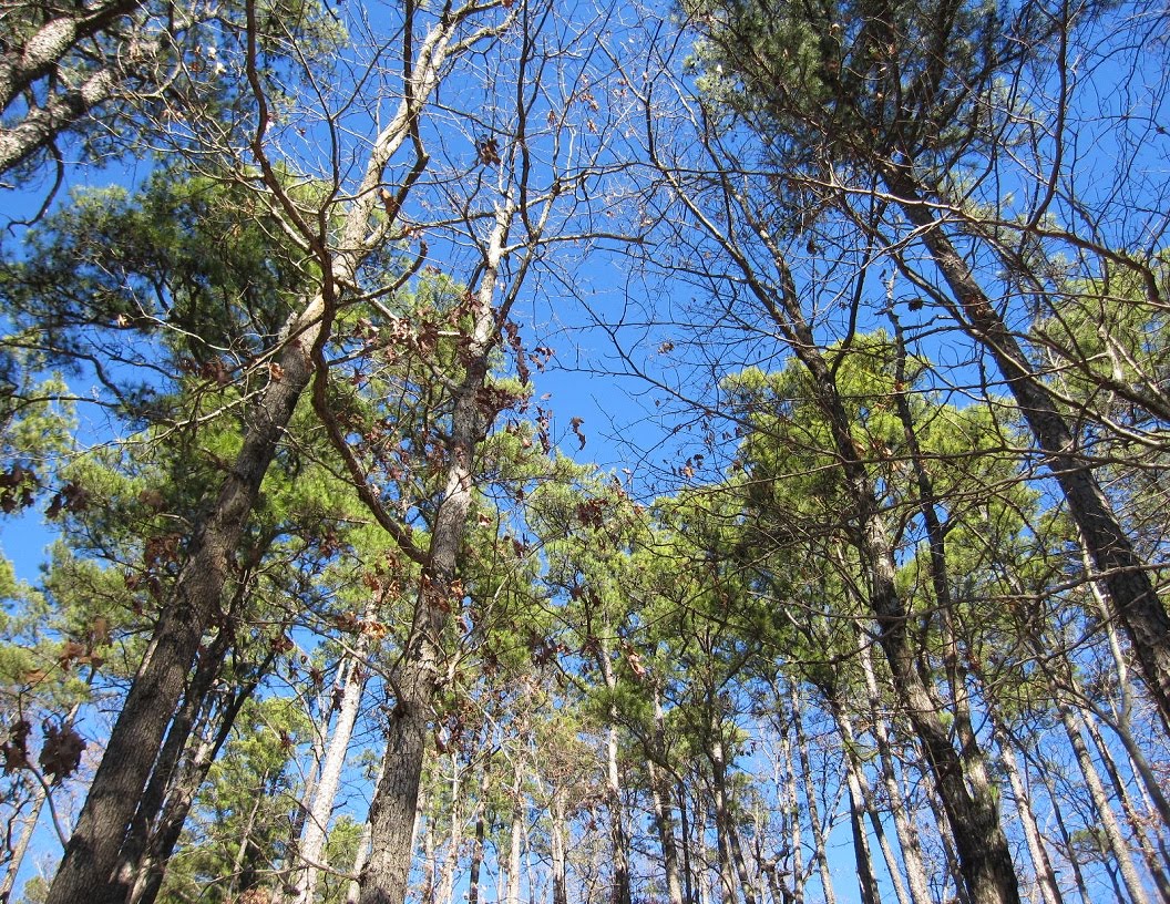 Love me sum pines and blue sky!!
 Here's a rare flat section of trail. Actually, there are a few stretches where the trail runs along a stream and the course is fairly flat. But most is either UP or DOWN.
 Tom is enjoying a run section just before our turn-around.
 We were near the back of the pack, and the aid station fare was pretty picked over. However, the peanut butter and saltines really hit the spot. I walked out with a triple decker sandwich made of two peanut butter cracker sandwiches with a brownie in between. YUM!
 The climb out of Blaylock Creek is maybe the steepest on the course. This mountain usually kicks my butt, and we definitely did not set any speed records, but I felt like I made it up and over in better shape than in previous years. Of course, those doing the marathon would have been climbing this having crossed six more mountains than we had at this point.
 One of my favorite sections is alongside this creek where the trail is carpeted by a coat of moss. Makes for some nice soft footfalls.
 Climbing the next to the next to the last mountain, Stan, who was running the full marathon, passes us by. Tom Brennan had long since passed us (at our 9 mile point, and he was on his 18th mile!)
 This is another booger of a climb. The next one after this was even worse.
 The end is near. Tom is on the last descent. We finished in 5:56. Maybe not too impressive timewise, but it was a great day of running, and I felt strong even in the final few climbs.
This race has never had a t-shirt or awards, but this year, t-shirts were available for purchase. Stormy sports the shirt, having finished his first A/BF 26.2. He loved it, and I'm betting he'll be back next year.
 This is the back of the shirt--it's the warning about the race that is on the website. Actually, I think this warning makes more people WANT to do it. There were 93 runners in this race--the largest turnout ever. There were 100 shirts printed. Tom and I finished way ahead of a lot of the marathoners, and the shirts were gone. Tom had made arrangements for someone to buy him one, but I was dissappointed to not get one. There is a list of folks wanting a shirt, and maybe they will reprint some.
 This is the elevation profile of the 17 mile Fun Run (which is actually closer to 18 miles by Tom's garmin.) Ouch!
Results can be viewed HERE.


