Thursday, January 28, 2016

Flashback to 2010. The weirdest night of my life.


It was the last run before Halloween, and our normal Thursday night to run. It was decided we should have a costume party....why not? We did last year and it was fun....we ate a bunch of bad snack food and had a good time. I gave very little thought to what to wear, and at the last minute visited the Salvation Army store across the street from RunnersWorld and bought a dowdy dress and a bonnet that was supposed to make me look like an Amish girl (or grandmother!) I was a little early getting to RW, and while adjusting my bonnet, I looked up to see myself looking at me?!?!Sandra had whiskers, and glasses....like mine...and shorts like mine....and a Snake Run shirt like mine!! WHAT???? You are dressed like ME!!! Oh, she had the details down. Had the water bottle, had the camera in hand....even has a watch on the left hand and a Garmin on the right. Funny stuff. Flattering even.

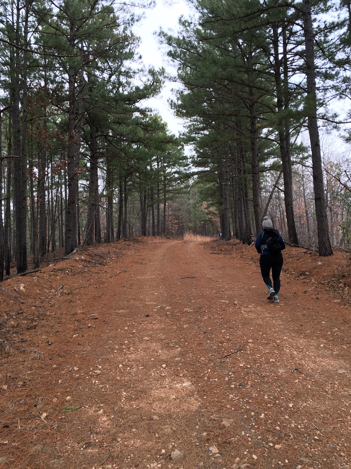
It gets better! Roman walked around the corner in the same garb. Amazing!! I did not have my camera....it was out in the car while I was putting on a large dress that needed to be a little larger to fit me....but I made a quick dash out to fetch it. It was on the way out that the zombies came out of the woodwork....Trail Zombies, that is.Roman was looking super-cool as a zombie runner.

Nope, this is not me. It's another impostor! Whereas Sandra had the quirky props, Tom had the look. Maybe a little too much gray in the hair, Tom....but you were very handsome.


Jason has the look perfected. Maybe just a little heavy on the gray/white stuff, but he has the physique down, and even the slight head tilted to one side. I have that copyrighted, ya know. This is just too weird!!!

Susan Alexander does a great impersonation. I especially like the skulls on the do-rag.

Bobby, always thinking "outside the box", decided to come dressed as my car. Notice the front of my Prius on his shirt. The back of his shirt has (you guessed it) the back of my car, as well as my MARATHON HO sticker on it. Funny stuff, Bobby!!

Caroline wears my favorite race shirt, the shirt from the 1st Six Hour Long Snake Run. It's a cotton T, and is a little hot to wear on most runs, but I love the design.

More impostors.I LOVE IT!!! How did you all pull this off??

Susan looks so much like me she could BE ME!! (Susan, the shovel I used to kill that copperhead had a much longer handle!)
Meanwhile, on the other side of the world in Egypt of all places, an outbreak of "TrailZombie fever" cropped up.Nothing short of terrifying!

All together, there were 14 people dressed up as me, and I looked NOTHING like me!!! Lisa really looked the part. Teresa also could have passed for me even in a brightly lit room. I thought I had Brian take a pic of all the TZs in front of the store, but it was not on my camera. I'll post it if he sends me a copy of what he took. Favorites? It's hard to say. Tom was mistaken for me. Sandra had all the props. Jason had the mannerisms. Gosh, I loved em all.

Imitation is the most sincere form of flattery, or so I was told. I am blessed to have such awesome friends!!

Sunday, January 24, 2016

Spavinaw with friends

Some friends and I made the trip northeastward to the Spavinaw Wildlife Management Area (WMA) to run. I have been there a couple of times before, and remembered my way around pretty well, but had not seen all the roads/routes/trails there. I believe one could create a serpentine route that would be a good 50K in length without crossing the same trail twice. 


Johnna, Michelle, Jbob, and Lynna joined me and our awesome five-some headed out around 9:30 for a run of a yet-to-be-determined length. I had plotted out some possible route using MapMyRun, and we decided on an 8.3 mile loop with the option of adding an out-and-back. (Note the smiling faces.)

Having ran here before, I knew there were two ways to begin out run. One was to head straight west from the WMA office, which involved a beefy climb right out of the chute. I was here once in my Prius, and wanted to drive on the well maintained roads across the area to scope things out, and my Prius could not make it up the hill. (A Prius does not behave at all on off-road conditions, even when they're semi-well maintained gravel surfaces.) The other departing route takes you north on a road that is not on  all the available maps, but is a good route other than a few mud puddles--and  trail runners are ok with mud.


After a half mile, a gradual climb began. I had to make a pee stop (have not mastered the pee-on-the-run thing yet) and I fell behind--but engaged the shuffle mode and inched my way back to the group.

This climb had a couple of false summits--you the kind of hill that you see what you think is the top, and then around a bend the darn hill goes up, and at an even steeper grade. 

Despite this seemingly relentless ascent, I was not cussed at this point.


Mile two-ish. It was cloudy and and cold, but with no wind and our steady pace, we were warm and happy. West was thew direction and away we went.


Lynna was wearing a new pair of Hokas for the first time--breaking the "never wear new shoes on a long run" rule. I later was told she had wore that same shoe before--this was just a new pair of the same model. That's ok in my books.

Coming around the northern edge of the 8.3 mile loop, we finally got the pay off for all the climbing we had been doing. A nice 1.5 mile gradual descent made this my fastest mile--although it was not particularly speedy.  Michelle noticed a cave down in a holler that looked big enough to set up a couple of campsites in it. To get to it, and I wanted to, we would have had to butt-slide down a 75' drop, and then somehow climb back out--or go a half mile or so down the road we were on and follow a creek bed back up to the cave. We decided it might be a good thing to do on a later trip.

Since all of our group pics had the photographer out of the frame, we grouped in for a selfie shot. I gave up on trying to photoshop out the deranged look in my eyes. So there you have it!


Lynna decided to climb to the top of this knoll to see what there was to see. It was a mere 50 yards and not to steep. We made our way there, and the view was great. You could see for maybe a couple of miles down into a valley and back op another hill, and then beyond that. 

I took several pictures, but none could capture the view. This pano shot was the best of the bunch.

We reached this point--the intersection of Tower Road and SandPoint Ridge Road and had a brief conference. We had already tackled a good climb out of the Dog Hollow Valley, and had extended the possibility of the 8.3 mile loop. Should we go on?Should we find a way to loop back for a 9-sh mile loop? My adventurous side said no, and I talked the group into heading away from our cars and onto the SandPoint Ridge Road. I remembered this road from my last trip here, and it's beautiful, although I knew it would mean we'd have about 16 miles. My running buddies are good sports, but I do feel like I drug Michelle into going a bit further than she should have what with Switchbacks being just last Saturday.

This was a gorgeous section of the run. Running under tall pines on a blanket of pine needles is my idea of heaven.  Jbob was awesome. He would run ahead, top a long hill, and then turn around and run back to whoever was furthest back (sometimes me, sometimes Michelle) and would jog with us and dole out encouragement. He ended up with seven more miles than I had, and who knows HOW many more feet of elevation?!?

Another pee stop for me and then I was chasing Michelle and Johnna. Lynna runs like a gazelle, and she would sometimes zigzag back with Jbob.

This loop goes through an a spot where there had been a fire years ago. Tall grass had taken over the bare area and it was beautiful. I am sure this IS a hunter's paradise.

Yes, there were a few flat sections.

Clicking off the miles. And thinking about food. We had been discussing feeding options from about noon on.

A little roller--up, down, up.

At another key intersection, this is the remains of an old homestead. I have also been here before and was confused as to the best way to go. 

There is a gravel creek bed that is marked as a foot traffic only route, but on any map I have seen, it's a dead end. It looked like from the maps we had with us that the route we needed was right here, but actually we had to go west and further away from where we parked to pick up a main route back.

So west we went. I posted a few pics on Facebook, and someone asked me WHAT was in the tree. I told them we were lost, and Jbob climbed a tree to see if he could get a bearing, and then slipped and fell. And the "thing" in the tree was his camelback. Of course it was lies all lies.

AHHH. Here is the road we were looking for. Cochran Prairie Road--a major route on the southern perimeter of the WMA. This road headed east--and up. Mostly up. 
 The sun had finally made an appearance, and blue skies were in full bloom. This also meant the frozen roads were turning to slickish mud in places--not to bad, but coming home with clean shoes was not gonna happen.

We then turned on Chicken Hollow Road, which I think gets it's name from the fact that it cuts off a big portion of the Cochran Prairie loop. 

More pine trees, more pine needles to run on. Johnna didn't let the hills phase her at all. Must be that this was still easier than Ouachita Switchbacks the week before. 

I announced that this was our last major climb. I was wrong. :-(

We did have a few flat miles once we hit Ground Dog Hollow Road. This runs along the bottom of a valley alongside a dry creek bed.


A little larger chunks of gravel, as I bet this was flash flooded during the recent heavy rains. I remembered this road heading east and descending right into the WMA headquarters--but what I did not remember was the 150' climb just before the descent. I'm sure I was cussed a little for this and suppose I deserved it.

 Final descent. Honest. I kept the shuffle thing going as it was steep enough to easily trash my quads. 
 We ended up with 15.6 miles. Here's our route. Compare this to the map below and you can see that getting at least a marathon distance would be possible without even crossing paths.


This is the best map I have found for the Spavinaw WMA. The black dotted lines are basically un-maintained roads, and during this time of the year, they'd be find. I bet some are impassable in the spring and summer.


I like this. I'd think about this graphic every time we climbed another hill. Sick, I know.

 A stop at the Dutch Pantry in Chouteau on the way home was awesome. Amish cooking, lots of pies and cakes, fried chicken, mashed potatoes, and scrumptious egg noodles. Worth the trip even with no running.

I plan on going somewhere out of town once a month, and I'd love to have a huge group of friends with me. We'll carpool and caravan there, run 15-25 miles, and then do the feeding frenzy thing. Fun.

Sunday, January 17, 2016

Ouachita Switchbacks!!!

It's Sunday evening, and I have finally decided to take 800 mg of Vitamin I to help with the soreness of my legs. Still, I am still a little giddy about the race yesterday. Ouachita Switchbacks was not as much a run for me as it was an endeavor of endurance. It was my measuring stick to see where I am--what I might be able to do. Was it possible for me to cover 18 miles with over 3000 feet of climbing? And would doing that put me out of commission? The answers--yes, and no.


The race takes place on the Ouachita Trail--a trail which spans two states running from Talahina, Oklahoma 223 miles eastward to Little Rock Arkansas. Around 50 miles of the trail is in Oklahoma, and this race covered about 16 miles of that 50. We started in the Pashubee Trailhead campground. Both the 25K and 50K started together, and ran west toward Winding Stair Campground. We'd go 9.2 miles to the Mountain Top Aid Station--a hiker's shelter near Winding Stair. From there, we'd come back. 50Kers would then go around 6.5 miles eastward to their turnaround, which was just past a waist-high water crossing in the frigid Kiamichi River.

Our caravan left Tulsa at 3:45 am and got to the race with plenty of time to spare. I picked up my hoodie and race bib then retreated to out vehicle and tried to get in a 50 minute catnap. That nap turned into a 70 minute nap, and Jenni woke me up with two minutes to get my Camelback on and trot to the starting line. I stated my race about two minutes late, which was no bother to me at all.

Quickly catching up with a party-like contingent of our group, I was immediately in good company. Tammy Cryer was rocking the OU poncho, as it was raining lightly--more than enough to saturate, but not enough to impair vision, or slop up the trailz too much.

A little more than a mile into the race, we came to the Toilet Tree. I am sure MANY a hiker has used this tree for just that.

I tried in vain--I needed a magazine to read. There was no way to flush it anyway.


When we ran here a few weeks ago, the trail was heavily leaf covered. Not so much here though. In the Ouachitas where the mountains run east and west, pine trees grow on the southern side of the mountains and leafy trees grow on the northern side. With 200 runners in the race, most of the leaves were smunched down or kicked out of the way. Running on pine needles is heavenly.


Lisa McManus snapped this picture of me. I was a little overdressed. I had a fleece vest under my Gortex jacket. Shortly this I tied the vest to my Camelback.  I was a little cold, but still quite comfortable when moving.

I moved ahead from a good group of friends, and ran alone for the next few miles. I hit the first aid station (around 4 miles in) and then headed down the hill to the lowest point on the course, and of course a water crossing. 

Instead of trying to find rocks to hop skotch across, I plowed on in. I don't mind wet feet in a trail race. Not a big fan of mud, but wet feet is not so bad. Slipping on a wet rock sticking out of the water might mean a polar bear plunge--not really what I had in mind for this day. 

From here, the course climbed steadily for almost all of the next five miles. As bad as it looked on the elevation profile though, it was a more gradual ascent. I found I could shuffle easily and that seemed to be slightly faster than my walk.

Jeremy caught up with me. He evidently started a bit later than I did. We ran together off and on for the rest of the race.

The trail followed the edge of this stream for around a mile. I was amazed at how green the water was. 
There were several primitive campsites here, but these were not places where you could drive in. You had to load your camping gear, tents, food, cooking utensils, and them pack it all out. Still--I want to come back and spend more time here.


The rain had let up, but it was cloudy, foggy, and mysterious. Clouds at times engulfed the distant mountain tops.


I make no claims to a good pace, but I did push and managed to catch up with Deana. I also started seeing runners coming back from the turn-around. Josh Snyder, Victor Brown, Clay Mayes all sped by like they were out for a leisurely Saturday morning run. Relaxed but FAST. I eventually caught up with Deanna and we ran together for a mile or so. When we got to the top of the long gradual climb, I picked up the pace a little. (Gravity helps the fat man on the downhills.)


I caught up with Jenni and Johnna, and we ran to the bottom and shifted gears for the final ascent up a series of switchbacks on the final climb to the Mountain Top aid station. The climb was around 750 feet, and it seemed to get colder as we went. Bits of sleet and snow was falling, and the mountain was not far from being white.

I hate hearing "You're almost there," when it's still a half mile away with 200 feet of ascent, but someone told us it was "just a few bends away," so we started counting the switchbacks.


Finally, close to an hour of marching, we reached the top. The wind was brisk, and with the dampness in the air, I started chilling. Kate Ellisor was manning the aid stop. She had spent the night there, and I don't know how she kept from freezing. Her dog was wrapped in a fleece blanket, and she seemed happy.


They had a cook stove, but the propane bottles kept freezing up. Getting a campfire started was not working either. Leonardo DiCaprio in The Revenant could start a fire with wet logs by rubbing two icicles together. Those skills could have been used up here.  We made a shredded cheese burrito Popsicle, which believe it or not, was so delicious. I guess I needed the calories.


We stopped at a scenic vista and took a couple of pictures. Our selfie blocked out part of the vies, so I took a pano without heads in the way.
Down the mountain we were on, up the next one, then down then up--that should get us there. We counted switchbacks on the way down and there were 33 hairpin turns on the way. It was runnable, but with the cold, the occasional rocks and roots, my knee history, and the fact that my legs felt like telephone poles meant my pace was a shuffling slog. 


I had seen pictures of this rock slide, and I thought the "trail" went right up this way. Wrong--although the trail did cross it. It was just a matter of bunny hopping across.

Miss Congeniality poses for a picture.

Here's the area with the green water and lots of fire rings where campsites have been. This looks like a decent swimming hole. Not today though.


The stream crossing--the last one where you basically had to get your feet wet. It felt so good on my tired dogs. 

Some people worry about getting your feet wet on a run--and getting blisters. I did not get one blister, although I did administer a generous amount of Happy Feet to my toes before putting on my Smart Wool socks. This is a winning combination.
Johnna did the wade thing too.


Deanna caught up with us and ran with us for the rest of the race. She took a crash at a water crossing early in the race. She was pretty cautious after that.

The last 2.8 miles seemed much longer. There were no super bad climbs, but the route seemed flat when we ran it in the morning. There would have been no way to get off course from this point on--unless you turned OFF the well marked single track trail onto a two-track forest service road, but it seemed to take us so long to get to the finish that I began to wonder if there was any way we could have made a mistake. But my delirious mind hung onto logic, and we kept pushing on. Finally--finally--we saw vehicles and people, and knew we were about 200 yards away. Johnna took off--gotta look good at the finish. I was not competing, but I still needed to kinds-sorta look good... so I increased my shuffle by 2-3 inches per stride and go to within a half-a-sneaker of her as we crossed the imaginary finish line.

We finished in 7:57. Hey!! We broke 8 hours. I looked at my Strava data to see if I had a notably fast mile, and it never really happened. My splits are embarrassing, so I'm not posting them. Running with a stuffed Camelback, extra clothes, cold temps, gimpy knee, tired legs, aid station stops, stopping for pictures, stopping to pee--oh I have lots of excuses. I'm ok with it. Deep down, I believe I passed the test I submitted myself too. I didn't drop. I had a smile when I finished. I felt good. I still feel good. The one good note--our outbound trip was 4:01. We finished in 7:57 for a negative split--aided by a lot less climbing on the way back.

I'm way impressed by those who did 50K here. I know how I felt after doing 18.5 miles--having to go out for another 13ish, and two 1100 foot climbs?? WOW!!

I kinda-sorta think I'll be back next year--and if I don't beat myself up doing something silly like Athens/Big Fork the week before, I may try getting 50K in here.