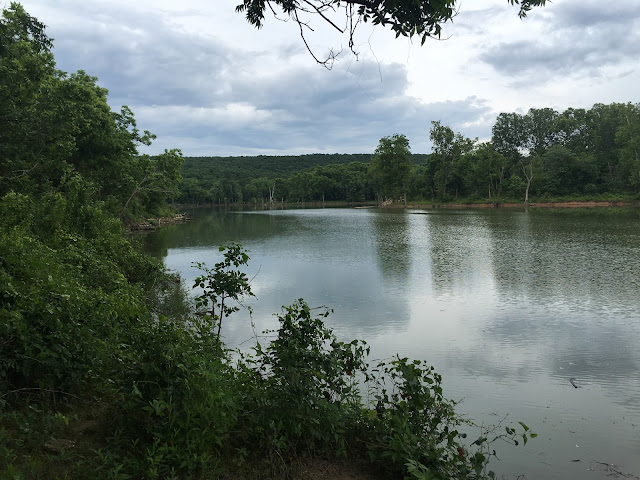
Thursday I had a sales call southwest of Choteau and was intrigued by a road that apparently headed alongside the Neosho River. I had pulled into am amish store and bought a mini pecan pie and was munching on it while looking at a map app on my phone, and saw that there might be some good hilly running routes to be found, so I decided to check it out.
The first few miles were paved roads with absolutely no shoulder at all--not the best place for running or biking--but eventually as I neared the river and primitive campground/fishing areas, I found some gravel roads that interested me.
Walking around I saw that there was less than a mile of decent running before you hit the pavement again, so I decided to try to find those hilly roads that looked so good on my map.
My next stop was a little further up Spring Creek. Again, there was a primitive area, and it looked like a good fishing spot.
The green box was my first stop, and the red was my second. I didn't have a signal and was not able to pull my map app up out here,, so finding my hills was gonna have to be done using my trail sniffing senses.
I stopped at Pokeys on the way out. This is an old time general store, compete with all kinds of bait and tackle, and a wealth of canned goods and grocery essentials. I just wanted to look around, and bought a coke so I wouldn't seem a nuisance.
From there, I was finding nothing but paved roads, and could not seem to find the windy twisty hairpin curvy roads I was looking for. I finally gave up. Another day perhaps.
Here's what I was actually looking for. This was a few more miles south and east. The hairpin turn around mile 16 was what grabbed my attention, and a turn like this is usually an indication of a steep climb. Upon further examination of this road on MapMyRun, it might have been a private dirt road, which wouldn't keep me from running it. (Hoping I don't get shot at!!)


No comments:
Post a Comment