Pictured above--from left to right--Brian, Jason, Blake in the front, SueAnn, Leaha, Johnna, Jessi, Gracie in the front, a bearded Jeremy, and Caleb.
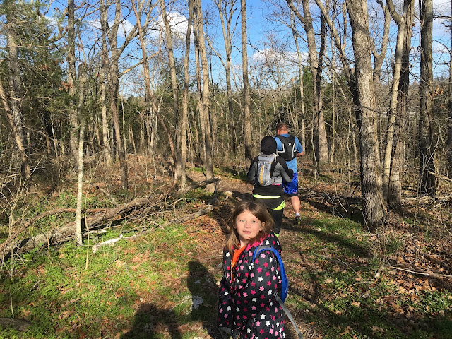
There are not a lot of miles of trails here, but if you plan it right, you can get a good 4 miles in, and then throw in another loop, or a few hill repeats, and it makes for a good run. We had a moderate climb right away, and then we had a little downhill action. Gracie was bubbling over with boundless energy.
There's a lot of scenic Kodak moments here. A deep canyon runs through the park below the water falls. We were at the top, but would descend to the river, climb back out, back down, back up. Sounds like I planned the route.
We descended right to the edge of the canyon a couple of times for better pictures. I think Johnna might have been coming back from a bathroom break. HAHA.
One wrong step, and it was a 100 foot drop.
There were several park benches--great for a brief rest, or nap.
This was Natural Falls version of the Powerline Trail. We took the other one.
Good running. Some of the route was jeep roads like this. This was one of the few flatish sections.
And then a long steep descent to the green water of the river. We dropped 150 feet in a 10th of a mile. (Of course I had to come back to go back UP,
I bet this is a good fishing spot. Or a foot soaking spot.
Here's the hill we just came down. I tried to run the whole thing when we came back, but only made it 3/4 of the way back up before I had to walk.
Following the river, we came to an old dam and waterfall. Of course we had to get a closer look.
We went as far south as the trail led us, and decided against bush whacking, Turning back took us to a bridge to the other side.
This place is postcard pretty. Easy to take good pictures here--just point and shoot.

A series of steep paved sidewalks and steps led to the base of the natural falls. During a rainy season, this is a noisy falls. I think during the drought, the falls is dry. Today, it was s stedy flow, but maybe not as impressive as it can be.
Looking back up--way up--to the bridge we had not yet crossed.
Everyone was enjoying the day.
Climbing back out, I took a picture from the observation deck.
We headed back alongside the river the way we came and then took the Bear Trail, which went straight up to the campground in the park. I knew of another trail head which led to a cave and of course we had to check that out.
It wasn't a huge cave--no way to get lost in it, but you could defiantly get out of the weather here.
Then we went further south and took a trail alongside the other sidle of the river, crossed the river on a fallen tree, and then climbed an insane hill to another cave. It was a scramble--on all fours, and youy needed spikes in your shoes and long fingernails for traction.
None of the pictures I took here conveyed how steep the climb was. Going down was actually scarier than going up. I did get a picture of this petrified buffalo here.
I ended up with around 6 miles--I got in a few deliberate hill repeats. This elevation profile looks more fierce than it really was--but it was hilly.
We try to take these trips once a month. I'll put the word out when the next one is--might be the weekend of the 16th/17th--gotta check the calendar.


No comments:
Post a Comment